
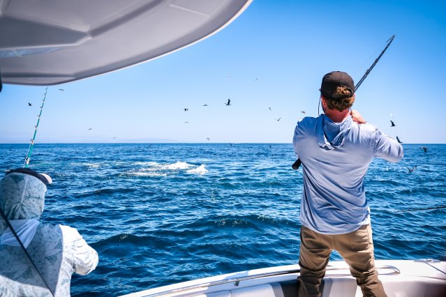
Successful anglers know that finding fish starts with understanding what's happening beneath the surface. Today's marine electronics make that easier than ever by providing real-time information about water depth, underwater structure, bait schools, and fish activity. Whether you're chasing largemouth bass and crappie on Lake of the Ozarks or tracking redfish, kingfish, and mahi offshore, the right technology can help you find productive water faster and spend more time fishing.
A fish finder uses sonar to create a picture of what's below your boat. While spotting fish is important, many experienced anglers focus on finding structure such as reefs, ledges, drop-offs, and grass beds where fish naturally gather. By studying contour lines and underwater terrain before leaving the dock, anglers can create a game plan and spend more time fishing efficiently once they arrive on the water. Modern systems also allow you to mark productive locations and return to them with precision using GPS navigation.
Marine electronics also play a critical role in boating safety. GPS navigation, radar integration, weather monitoring, and waypoint management help captains navigate confidently in changing conditions. Offshore anglers can safely return to productive fishing spots, navigate through low visibility, and monitor approaching weather systems. The combination of fishing performance and safety benefits makes marine electronics one of the most valuable upgrades available on modern fishing boats.
The truth is that marine electronics don't replace skill, patience, or local knowledge. Instead, they provide valuable information that helps anglers make better decisions and fish more efficiently. When combined with experience and time on the water, today's fish finders and navigation systems can reveal a world that was once hidden beneath the surface. Whether you're exploring a new lake, working a coastal flat, or heading offshore in search of your next trophy catch, the right technology can help you spend less time searching and more time creating unforgettable memories on the water. Before ever leaving the dock, anglers can use online fishing maps and charting tools to identify public fishing access, underwater structure, and productive waterways. Resources like the U.S. Fish & Wildlife Service Fishing Map make it easier to discover new places to fish across the country and build a game plan before launching.
At Robalo, building world class fishing boats is a passion and a way of life. A leader in the marine industry since 1968, Robalo is renowned for its heavy-duty construction, legendary ride and unwavering desire to stay on the cutting edge of innovation. We invite you to choose from an incredible lineup of Center Consoles, Cayman Bay Boats, and Dual Consoles.